

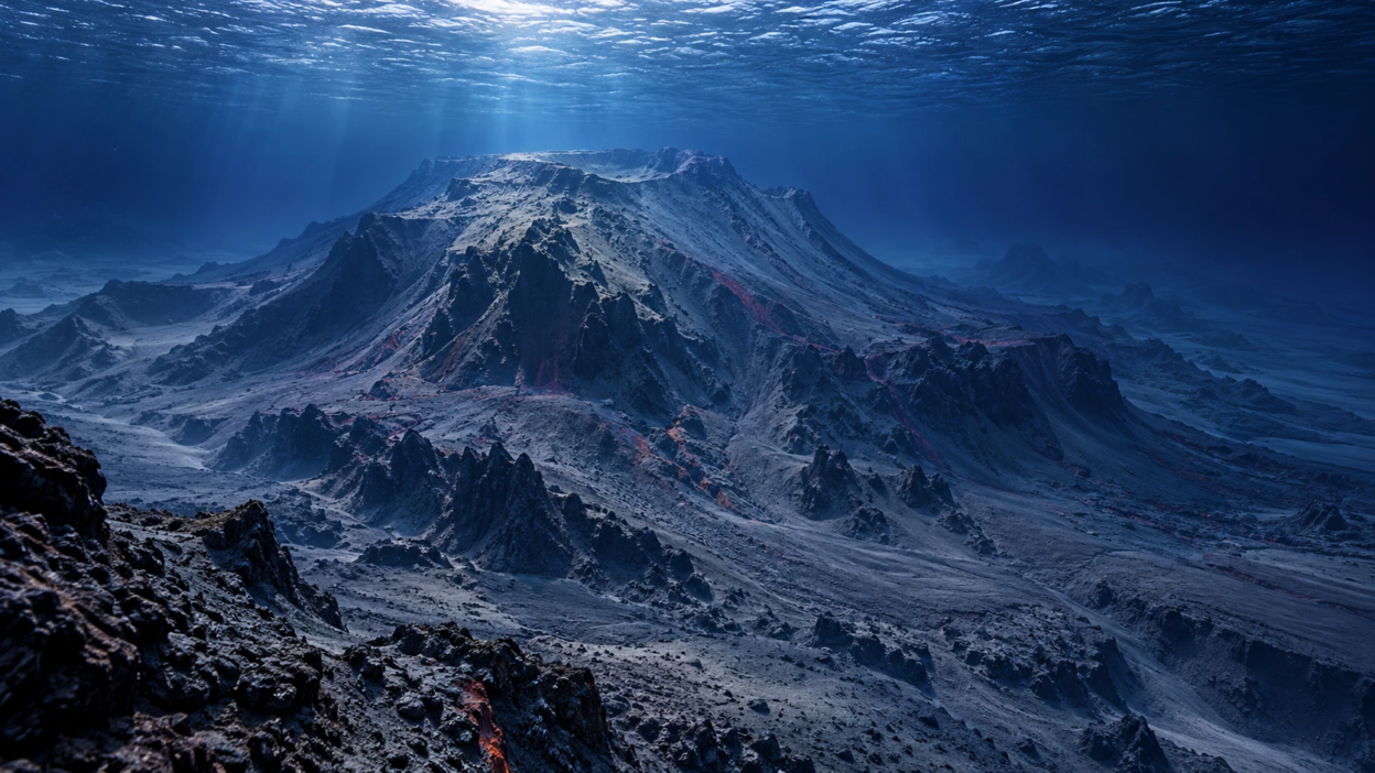
Recent earthquakes in the southern Tyrrhenian Sea have renewed interest in Marsili, a massive underwater volcano near southern Italy. The strongest earthquake in the sequence reached a moment magnitude (Mw) of 5.5 on October 23, 2026, northwest of Sicily’s Aeolian Islands. However, Italy’s National Institute of Geophysics and Volcanology (INGV) found no direct connection between the earthquake sequence and Marsili’s volcanic activity. A precautionary tsunami advisory issued after the earthquake was also cancelled when monitoring data showed no ongoing tsunami.
According to INGV’s Marsili volcano profile, Marsili is the largest active underwater volcano in the Mediterranean Sea and Europe. It is located beneath the Tyrrhenian Sea, between mainland Italy and Sicily. The volcanic structure stretches approximately 70 kilometers in length and 30 kilometers in width. Its base lies about 3,400 meters below sea level, while its highest point is roughly 508 meters beneath the water’s surface. Because the volcano remains completely underwater, studying its activity requires advanced marine research equipment and monitoring technology. Geological research indicates that Marsili’s most recent eruptions occurred approximately 2,100 to 3,000 years ago, although its long-term eruptive history remains incompletely understood.
The latest concerns began after several earthquakes were recorded near the Aeolian Islands starting on October 20, 2026. The strongest earthquake occurred on October 23 at 12:19 p.m. Italian time, reaching a moment magnitude of 5.5. The earthquake was located approximately 30 kilometers northwest of Alicudi Island. Numerous smaller earthquakes followed, attracting attention from residents and scientists studying seismic activity in the Mediterranean region.
According to INGV’s October 24 analysis, the recent earthquake sequence was not directly connected to Marsili, despite occurring approximately 20 kilometers from the underwater volcano. Scientists identified mainly compressive movements along geological faults, while Marsili’s volcanic activity is associated with the extension of the Earth’s crust. This difference supports the conclusion that the earthquakes were related to tectonic movements rather than signs of volcanic unrest at Marsili. The findings provide no evidence that the volcano is preparing for an imminent eruption.
Marsili is classified as an active volcano, but this does not mean that it is currently erupting. Researchers have recorded underwater gas releases, hydrothermal processes, and very low-energy seismic activity associated with the volcanic structure. Hydrothermal activity occurs when seawater interacts with heated rocks and fluids beneath the seabed. These processes are known features of Marsili’s geological system and do not, by themselves, indicate that a major eruption is approaching.
One of the main long-term concerns surrounding Marsili is the possibility of underwater landslides. Scientific studies have examined scenarios in which portions of the volcano’s steep slopes could collapse, displacing seawater and potentially producing tsunami waves. A scientific tsunami modelling study examined how waves generated by hypothetical underwater landslides at Marsili could affect the Aeolian Islands and coastal areas of southern Italy, including Sicily and Calabria. However, these studies examine possible geological hazards rather than predicting that a collapse or tsunami will occur. There is no confirmed evidence that the October 2026 earthquakes triggered a major landslide at Marsili.
Modern technology helps researchers investigate underwater volcanoes such as Marsili. Scientists use seabed mapping, marine research surveys, ocean-bottom seismic instruments, and computer models to understand the volcano’s structure and geological activity. However, Marsili does not have the same comprehensive, continuous real-time monitoring network used at better-observed Italian volcanoes such as Etna and Stromboli. This makes it more difficult to detect and assess changes beneath the sea. Continued marine research and improved underwater observation systems are important for understanding its long-term geological risks. Other technologies, such as Earth-observation satellites, can support wider environmental monitoring and disaster assessment, although they cannot replace underwater instruments needed to investigate volcanic processes deep beneath the sea.
The October 23 earthquake also demonstrated the importance of rapid tsunami warning technology, as documented in INGV’s October 23 tsunami advisory report. After the magnitude 5.5 earthquake, INGV’s Tsunami Warning Centre sent its first information message to Italy’s Civil Protection Department at 12:23 p.m. local time. The alert was upgraded to an orange-level advisory at 12:29 p.m. because a small tsunami was considered possible. However, sea-level measurements from tide gauges at Strombolicchio and Ginostra showed no ongoing tsunami, and the alert was cancelled at 1:22 p.m. The warning was related to the earthquake and did not indicate an eruption or collapse at Marsili.
Under Italy’s tsunami forecasting procedures, Probabilistic Tsunami Forecasting (PTF) became operational on October 5, 2026. The system uses earthquake measurements, existing geological information, and computer models to estimate the probability of tsunami waves affecting coastal areas. It became the main assessment method for potentially tsunami-generating earthquakes of magnitude 5.5 or higher in the Mediterranean. The October 23 earthquake was the first Mediterranean event handled by INGV’s tsunami centre using the new procedure. However, PTF is designed to assess earthquake-generated tsunami hazards; it does not predict when Marsili might erupt or whether its slopes could collapse.
For now, INGV’s assessment indicates that the October 2026 earthquakes are not evidence of an imminent eruption at Marsili. Although the underwater volcano remains a subject of scientific interest because of its geological activity and potential landslide hazards, the recent earthquake sequence has not been directly linked to its volcanic system. Continued marine research, improved underwater observation, and reliable tsunami warning technologies will remain important for understanding geological risks and supporting coastal preparedness in the Mediterranean region.